Spring 2024, Vol. 46, No. 2
Featured
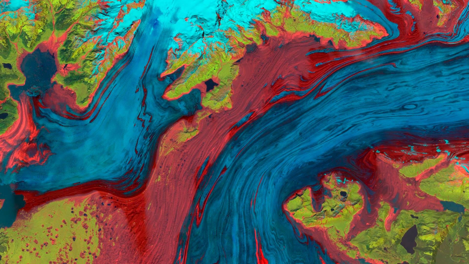
The Landsat Explorer app in ArcGIS Living Atlas of the World provides an easy way for users to access and interpret Landsat satellite data.
 GIS Hero
In Tacoma, Washington, the city’s chief technology officer led her team to create a GIS-powered equity map that helps guide city decisions.
 Collaboration
AutoCAD 2025 now features ArcGIS Basemaps and ArcGIS Living Atlas of the World data; Esri’s Maps.com highlights exceptional maps.
 Sustainability
With GIS, the University of Minnesota is helping Minnesota counties follow the United Nations' 17 Sustainable Development Goals.
 ArcGIS Online
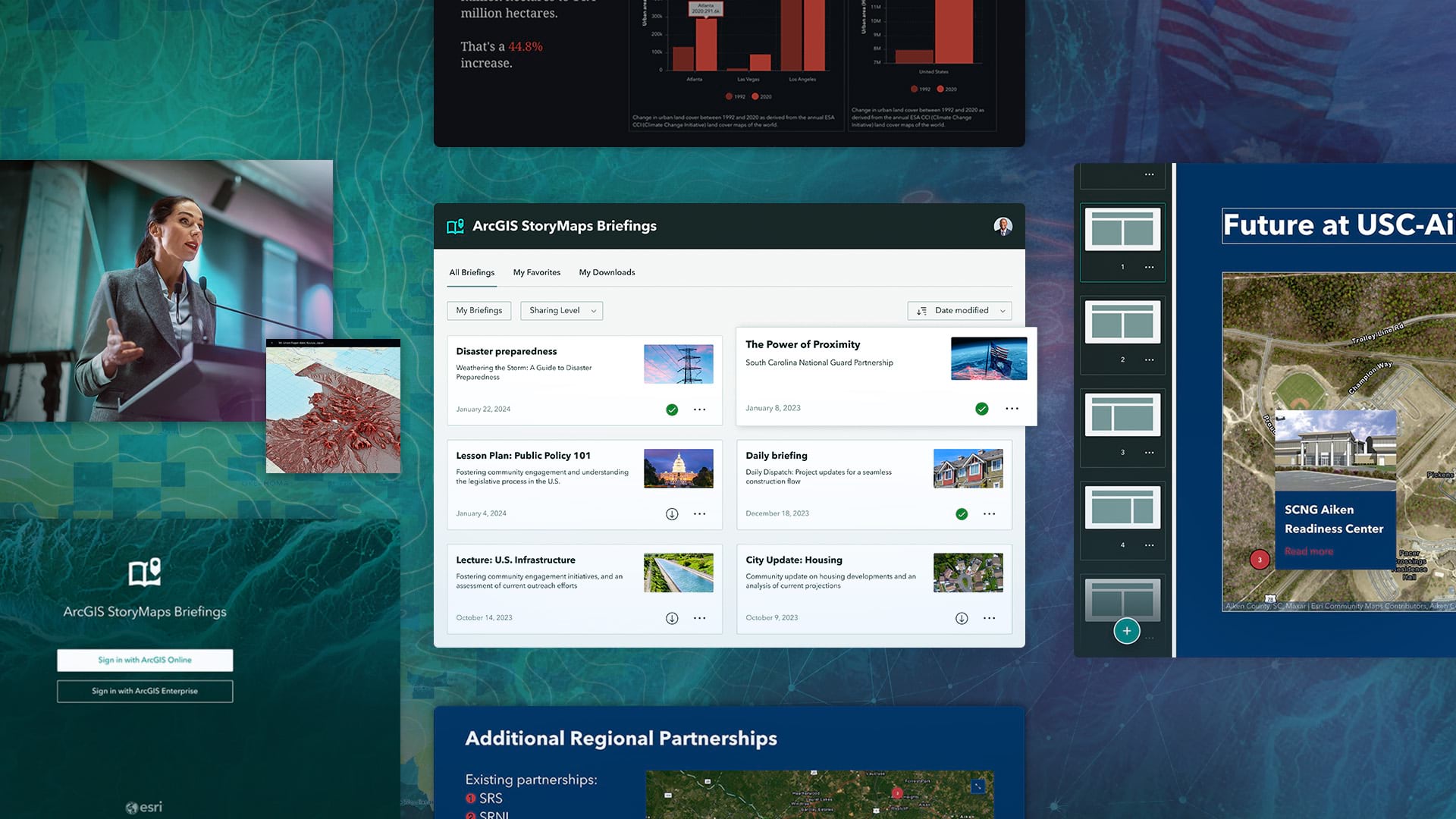
ArcGIS Data Pipelines now makes it easier and faster to prepare, integrate, and manage data In ArcGIS Online.
 ArcGIS Living Atlas of the World
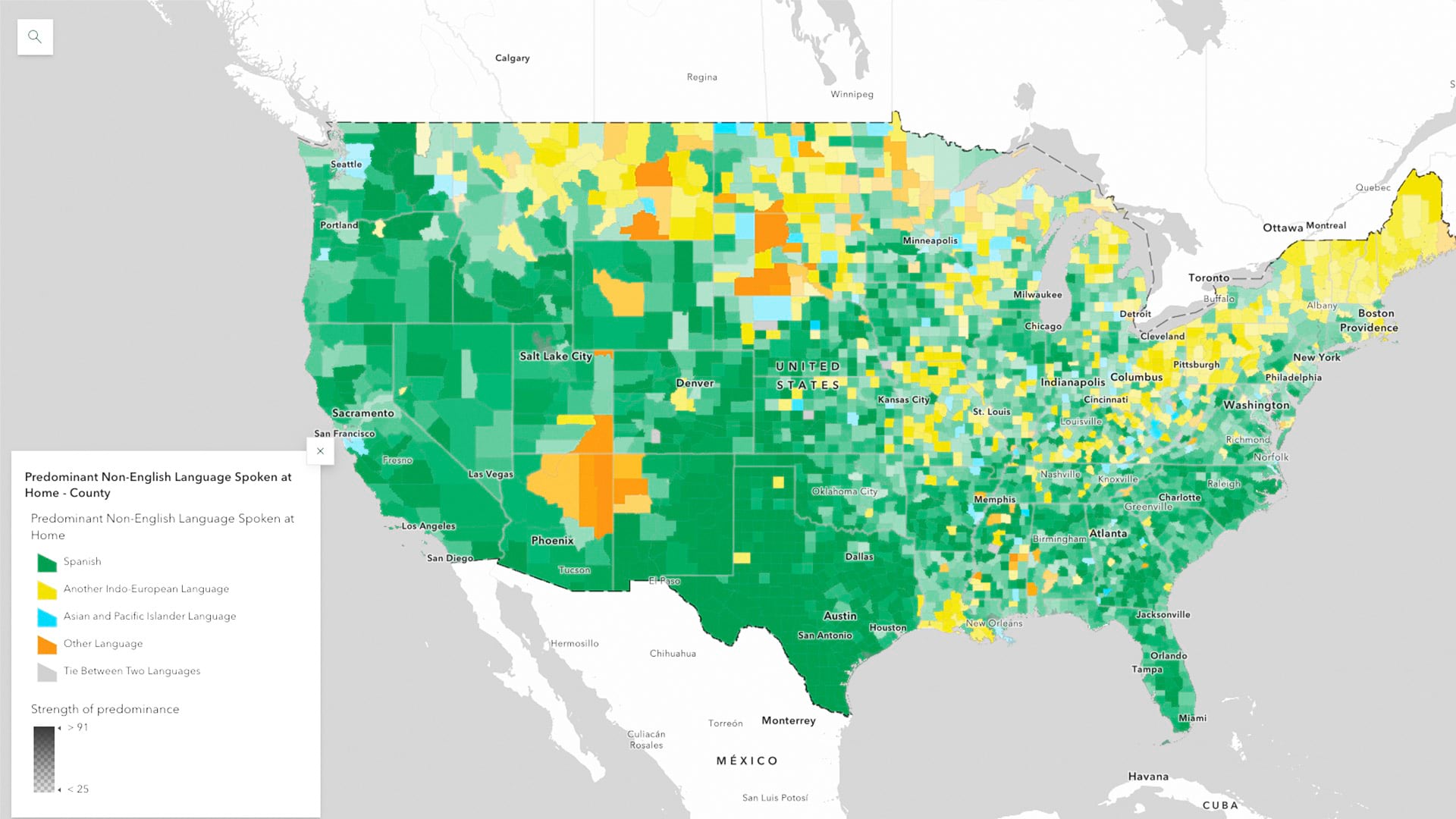
ArcGIS Living Atlas of the World now has the latest five-year estimates from the US Census Bureau’s American Community Survey
 Digital Twins
3D GIS workflows and models have created a digital twin to help guide development of port facilities in Vietnam.
 Archaeology
Two Esri partners collaborated to bring museum visitors closer to dinosaur history at a Colorado museum.
 Water Resources
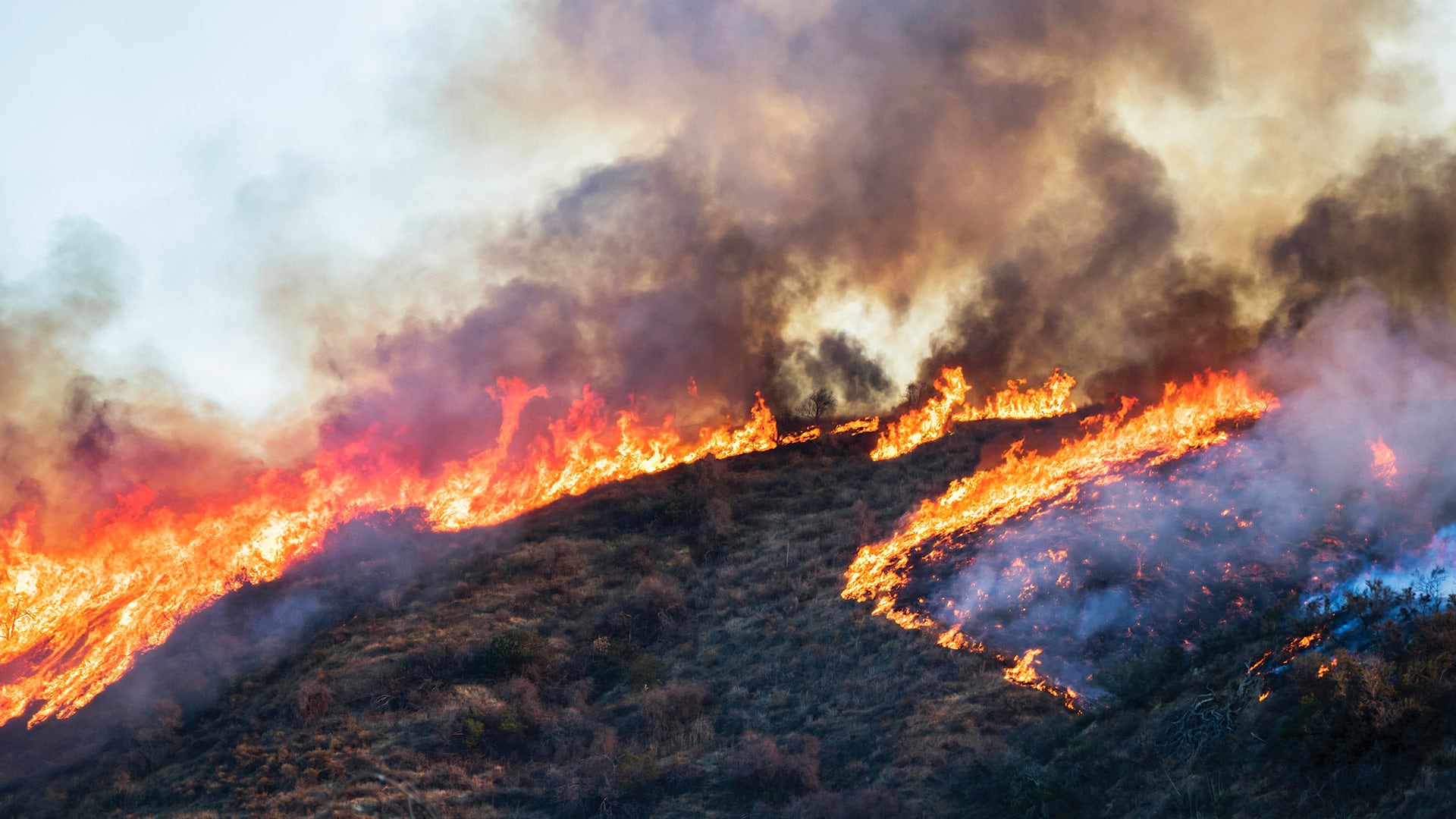
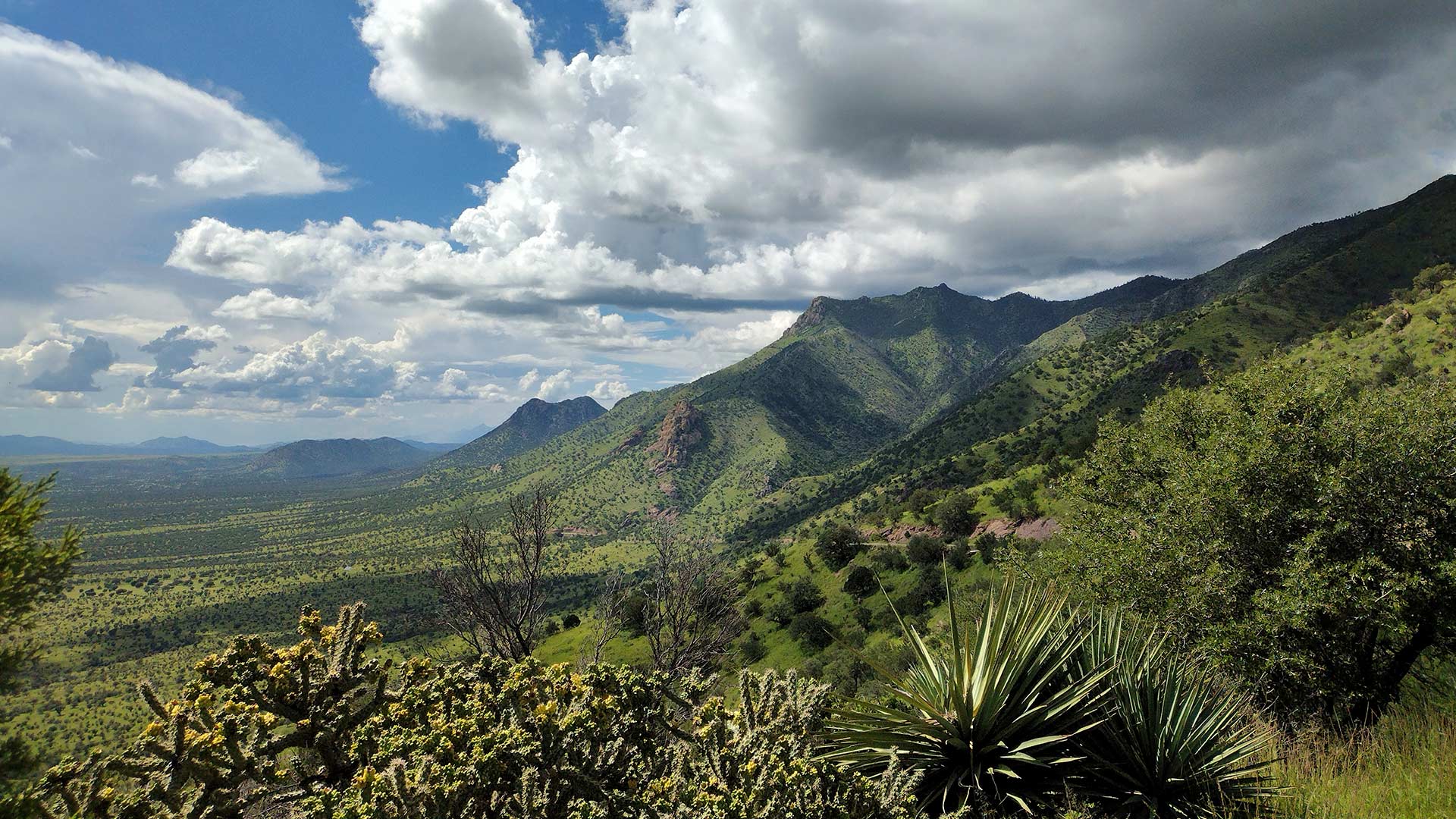
ArcGIS Image for ArcGIS Online helps scientists track land subsidence in Arizona’s Willcox Groundwater Basin.
 Public Safety
The City of Rochester Hills, Michigan, uses ArcGIS Survey123 to track community education and safety device installation.
 Thought Leader
With humanity at an inflection point, we must choose to stand up and create a sustainable future.
 Scientific Currents
Esri is actively involved in a multitude of climate-related activities, including massive online open courses.
 From the Meridian
Geographers and GIS scientists can improve their research by improving their engagement with the communities they study.
 Esri Partners
Esri partners facilitate and streamline workflows and management of a variety of community management projects.
 Esri Startup Partners
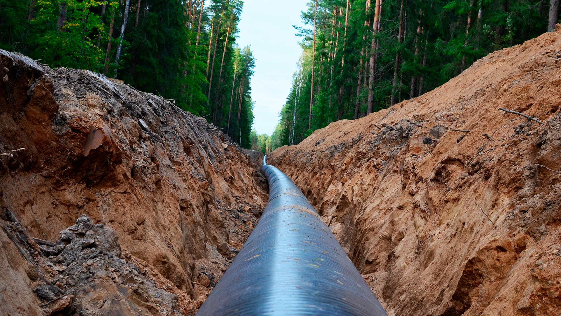
An Esri startup partner graduate helped a US pipeline client comply with federal safety requirements.
 Esri Press
New books from Esri Press cover geospatial technology in the field, GIS and wildland fire, and GIS for geospatial collaboration.